🚚 Free Worldwide Shipping on All Orders!Shop Now
The Chang'E-1 Topographic Atlas of the Moon
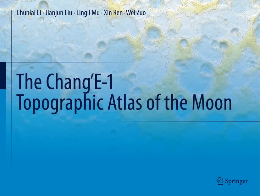
This atlas is based on the lunar global Digital Elevation Models (DEM) of Chang'E-1 (CE-1), and presents CCD stereo image data with digital photogrammetry. The spatial resolution of the DEM in this atlas is 500m, with horizontal accuracy of 192m and vertical accuracy of 120m. Color-shaded relief maps with contour lines are used to show the lunar topographical characteristics. The topographical data gathered by CE-1 can provide fundamental information for the study of lunar topographical, morphological and geological structures, as well as for lunar evolution research.
This atlas is based on the lunar global Digital Elevation Models (DEM) of Chang'E-1 (CE-1), and presents CCD stereo image data with digital photogrammetry. The spatial resolution of the DEM in this atlas is 500m, with horizontal accuracy of 192m and vertical accuracy of 120m. Color-shaded relief maps with contour lines are used to show the lunar topographical characteristics. The topographical data gathered by CE-1 can provide fundamental information for the study of lunar topographical, morphological and geological structures, as well as for lunar evolution research.
Select Location
Select Condition
Select Location Type
From $179.99
The Chang'E-1 Topographic Atlas of the Moon—
$179.99
Description
This atlas is based on the lunar global Digital Elevation Models (DEM) of Chang'E-1 (CE-1), and presents CCD stereo image data with digital photogrammetry. The spatial resolution of the DEM in this atlas is 500m, with horizontal accuracy of 192m and vertical accuracy of 120m. Color-shaded relief maps with contour lines are used to show the lunar topographical characteristics. The topographical data gathered by CE-1 can provide fundamental information for the study of lunar topographical, morphological and geological structures, as well as for lunar evolution research.